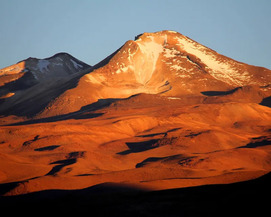
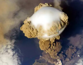
Global Volcano Monitoring: What Does it Mean When Volcanoes Deform?
Currently, it is only possible to look inside an active volcano using indirect geophysical methods. One such method is to measure surface deformation, which results from subsurface magmatic or hydrothermal processes. Modern satellite data allows deformation to be measured at hundreds of volcanoes without relying on limited ground instrumentation. As a result, the number of known deforming volcanoes has increased from 44 in 1997 to over 220 in 2016. This article reviews the diverse ways by which volcanoes can deform, the typical rates and durations of such deformations, and the processes that drive deformation.
Global Volcano Monitoring: What Does it Mean When Volcanoes Deform? Read More »